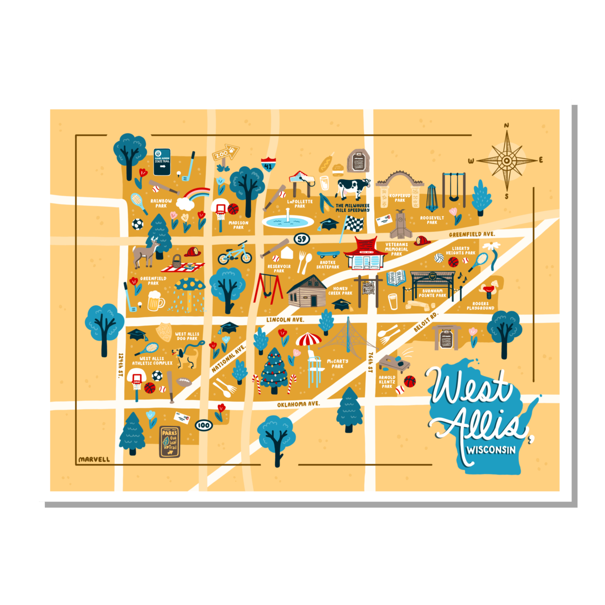
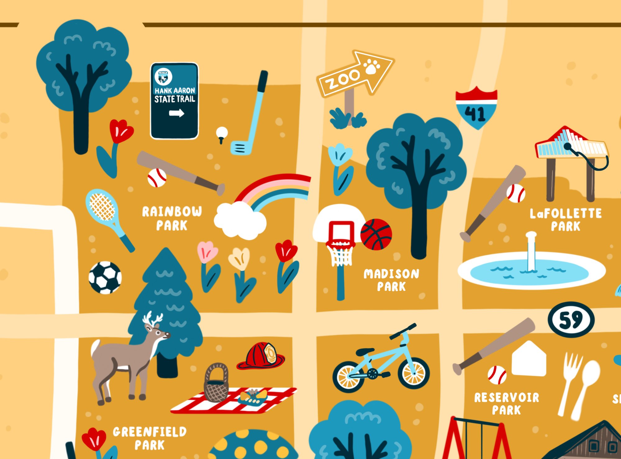
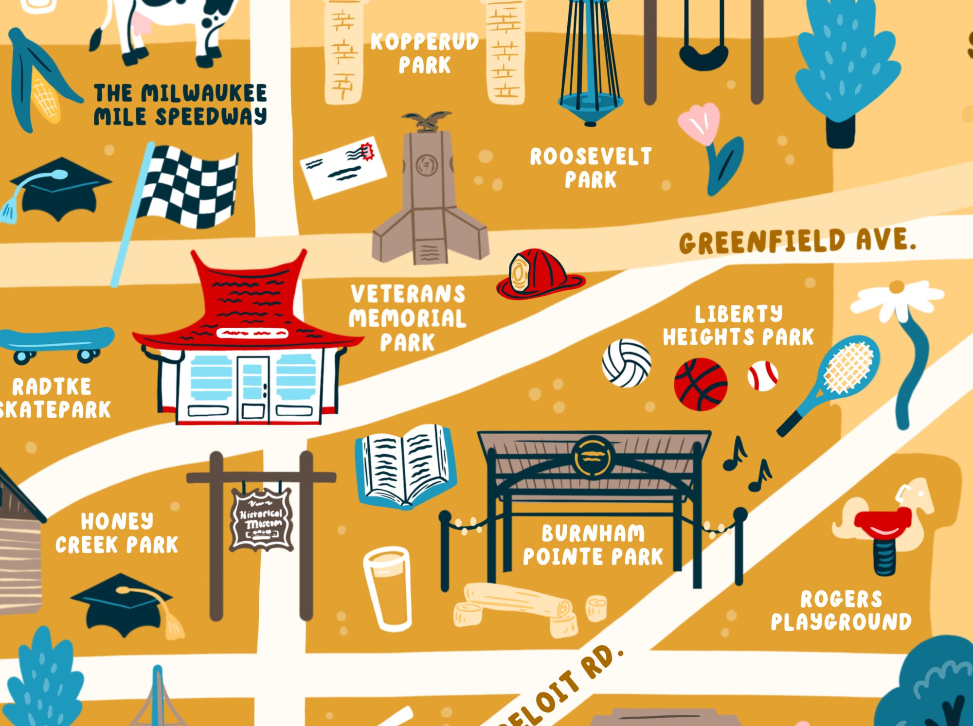
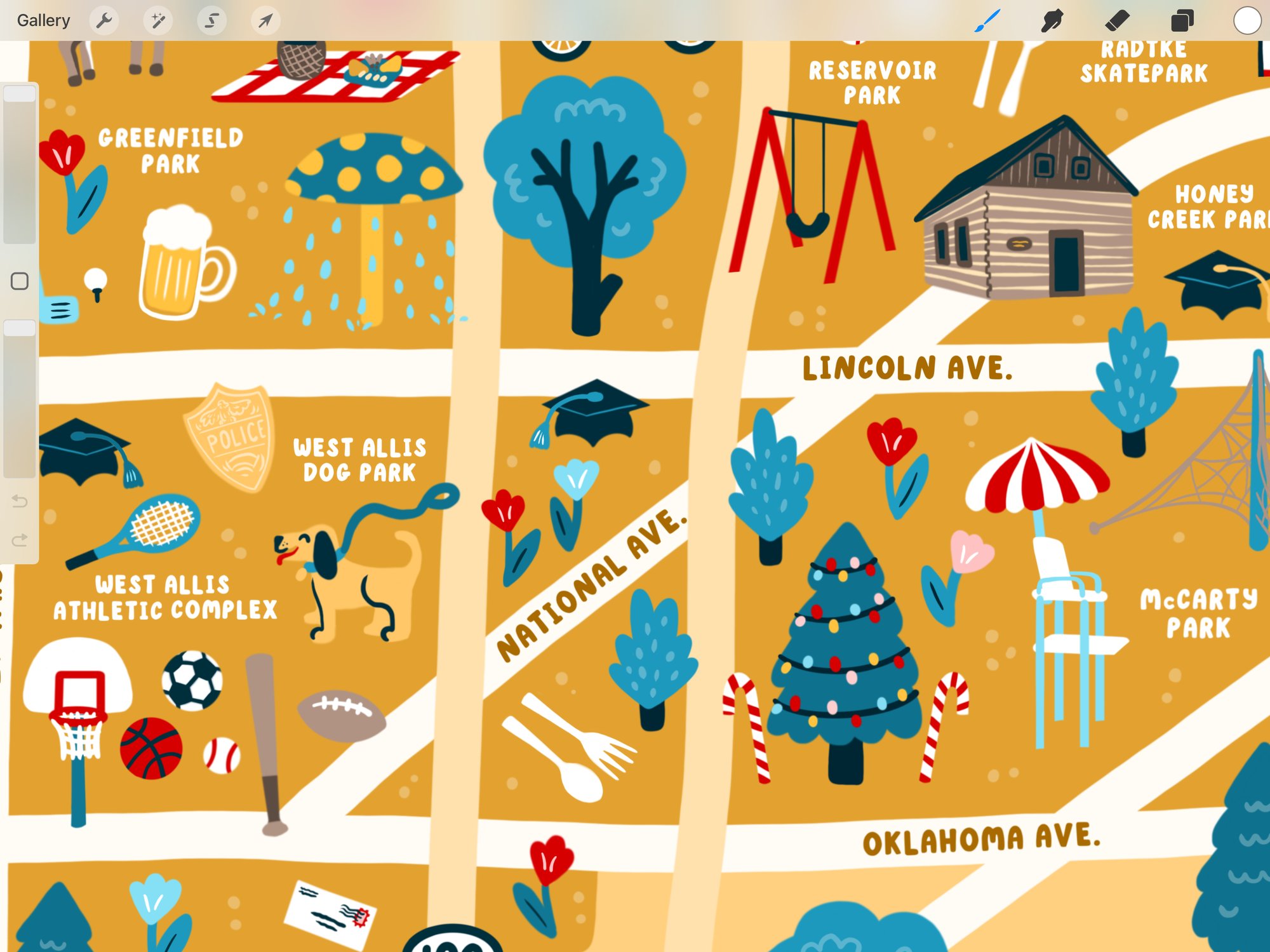
West Allis Map

$11.00

  • Image of West Allis Map
  • Image of West Allis Map
  • Image of West Allis Map
  • Image of West Allis Map
  • Image of West Allis Map

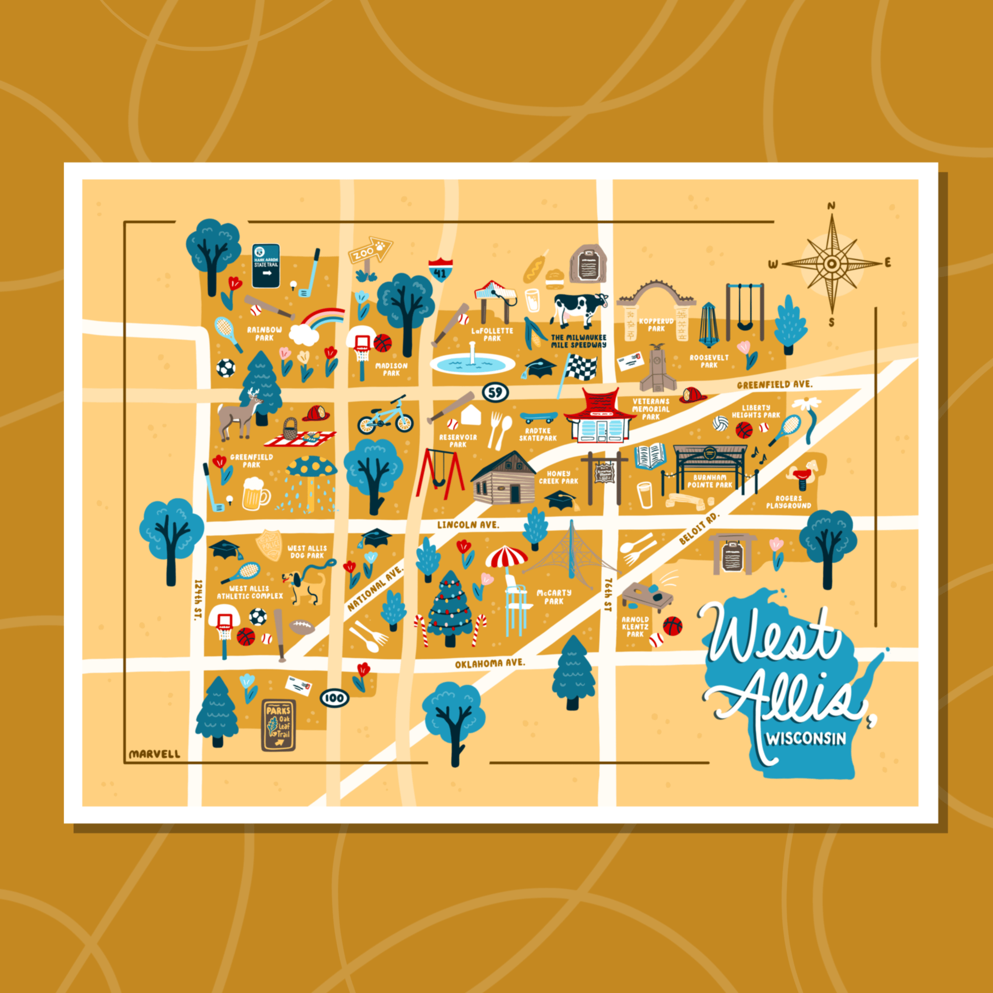
There are so many cool spots in West Allis, WI! I can't wait to plan tons of picnics this summer - warm weather is just around this corner. This map celebrates a city full of great outdoor spaces, a community that embraces great food, music, & public spaces, and a place full of all sorts of fun activities for everyone.

Available at
8"x10" (cut at 8.5"x10.5" for 8"x10" mat)
12"x16"

Image of Shorewood Map - *PRESALE
Shorewood Map - *PRESALE
$11.00
Image of Greendale Map  *PRESALE
Greendale Map *PRESALE
$11.00
Image of Greenfield Map - *PRESALE
Greenfield Map - *PRESALE
$11.00
Image of Wauwatosa City Map
Wauwatosa City Map
$11.00
Image of Bay View Map
Bay View Map
$11.00
Image of St. Francis Map
St. Francis Map
$11.00
Image of Oak Creek Map
Oak Creek Map
$11.00
Image of Cudahy, WI MAP
Cudahy, WI MAP
$20.00
Image of South Milwaukee Map
South Milwaukee Map
$11.00
Image of Roadside Wisconsin Map
Roadside Wisconsin Map
$13.00
Image of WISCONSIN Mitten Map
WISCONSIN Mitten Map
$11.00
Image of MICHIGAN Mitten (& Sock!) Map
MICHIGAN Mitten (& Sock!) Map
$11.00
Related products